A series of seminars for national Uzbek experts

*
On August
28-30, as part of the preparation of the nomination dossier for the serial
transnational nomination "Silk Road: Fergana-Syrdarya Corridor",
implemented with comprehensive support and funding from the National Commission
of the Republic of Uzbekistan for UNESCO, the IICAS staff held a series of
seminars for national Uzbek experts. The series of seminars were preceded by
online lectures. The lectures were conducted by IICAS representatives Dr.
Dmitry Voyakin, Dr. Ona Vileikis and Nargiz Aituganova and were dedicated to
the principals of the UNESCO Convention on the Protection of the World Natural
and Cultural Heritage (1972) and the principles of nominating cultural heritage
sites for the inclusion in the UNESCO World Heritage List. The participants
also familiarised themselves with the main stages of conducting assessments of
impacts on heritage in the context of World Heritage sites, as well as with the
details of the "Silk Road" transnational serial nomination.
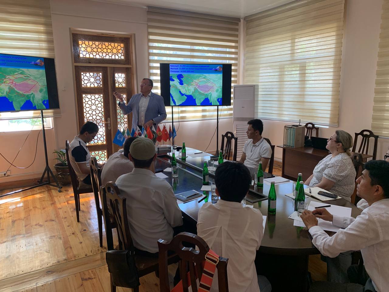
The
seminars were dedicated to the research and documentation of historical and
cultural heritage monuments within the framework of the nomination process.
On the
first day, the participants were given a theoretical course on the available
methods and technologies of modern documentation, taking into account
specifics, for producing nomination dossiers. On day one, the participants also
practised in various documentation methods, which included both the recording
of individual finds and artifacts and the photographing of the facades of
architectural objects for photogrammetry and making dimensional drawings. During
the seminar, the participants also went through all stages in the processing of
collected data using the Agisoft Photoscan software, starting from data
collection and cataloguing through to the final data output in raster, vector
and 3D formats.
On the
second day, the participants were given a theoretical and practical course on
collecting and processing data from UAVs. During the practical part, the
participants practised in processing data from UAVs to obtain a digital model
of a territory for macro and microtopography, outputting orthophotoplanes with
geotagging in a universal transverse Mercator projection.
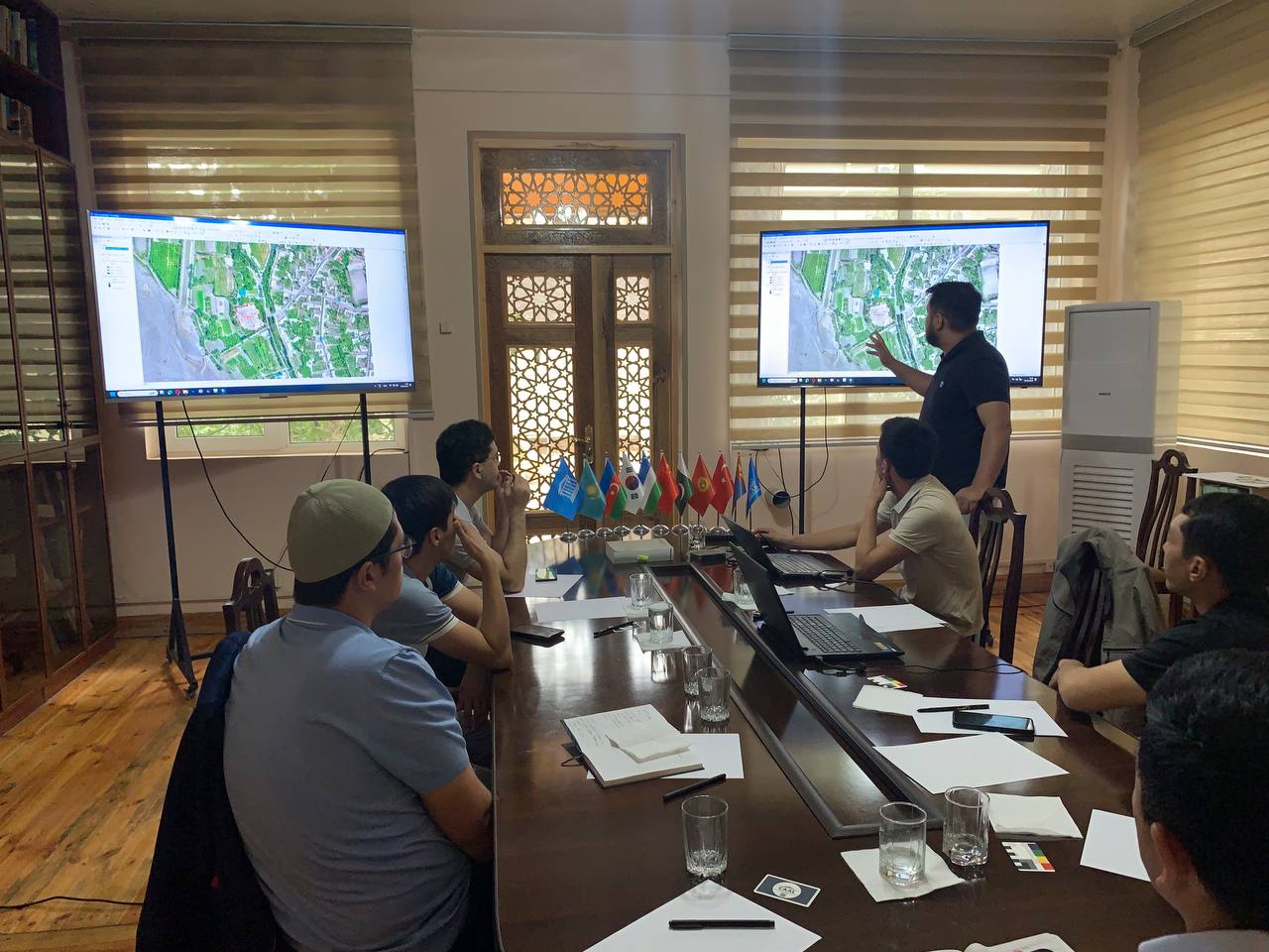
On day
three, the participants had a theoretical and practical course on working in
geoinformation systems based on the ArcGIS software. During the course, the
participants trained to use digital terrain models and orthophotomosaics to
make up topography and other cartographic materials necessary for a nomination
dossier. The trainees completed and mastered all stages in the mapping process,
from creating a database and using various classes of spatial objects to
calculating and analyzing data properties, as well as designing ready-made maps
and exporting them in required formats.
Based on
the results of the training, the participants were awarded certificates.
Share: